News
Belgian Artist Creates Instagram Surveillance Tool
The latest project from artist Dries Depoorter is called “The Follower”, and it’s a frightening glimpse into the world of public surveillance.
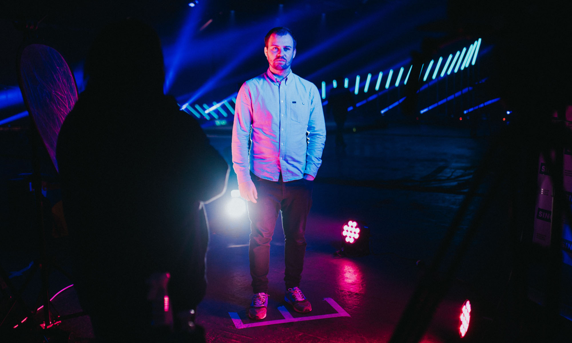
How often have you or your friends posed for an Instagram photo in public? Whether you’re on vacation or fooling around outside your favorite restaurant, we’re guessing the answer is most likely “a lot”. Well, if that’s the case, you might just end up as a subject in artist Dries Depoorter’s latest project, called “The Follower”.
The sinister-sounding creation was born after Depoorter noticed someone taking a lot of public Instagram shots:
“One day, I saw a person taking photos for like 20 minutes, and I was trying to find them on Instagram a day later without much success. That’s when I started building the software,” says Depoorter.
Thanks to the facial recognition software built by Depoorter, which crawls through footage from open webcams live streaming in public spaces, he quickly found a video of the Instagrammer in question when he posted shots onto the Meta-owned platform later that day.
The project is a fascinating (and terrifying) glimpse into how much information can be gathered using modern software — especially as the artist only had access to publicly available cameras. Depoorter’s work highlights the sheer scale of the world’s surveillance network and the enormous volumes of data we give away daily for AI bots to analyze.
Also Read: How To Permanently Delete Your Instagram Account
Depoorter has a history of projects like “The Follower”. In 2021, he created a similar piece of software that scanned the live streams of Flemish government meetings, using AI to search for politicians scrolling through their smartphones out of apparent boredom. The project was known as “The Flemish Scrollers” and automatically tagged the targets via Twitter.
As Depoorter points out, he isn’t the only one with access to these cameras, and it’s genuinely scary to imagine the surveillance tools the world’s government agencies have at their disposal. Next time you take selfies in a public place, check over your shoulder — you might be being watched!


News
A Three-Clinic Network Bets Dubai Is Ready For Longevity Medicine
Longevium has enlisted nearly 100 clinicians and created an AI platform in a bid to sell biological-age tracking as a medicine, not a wellness service.
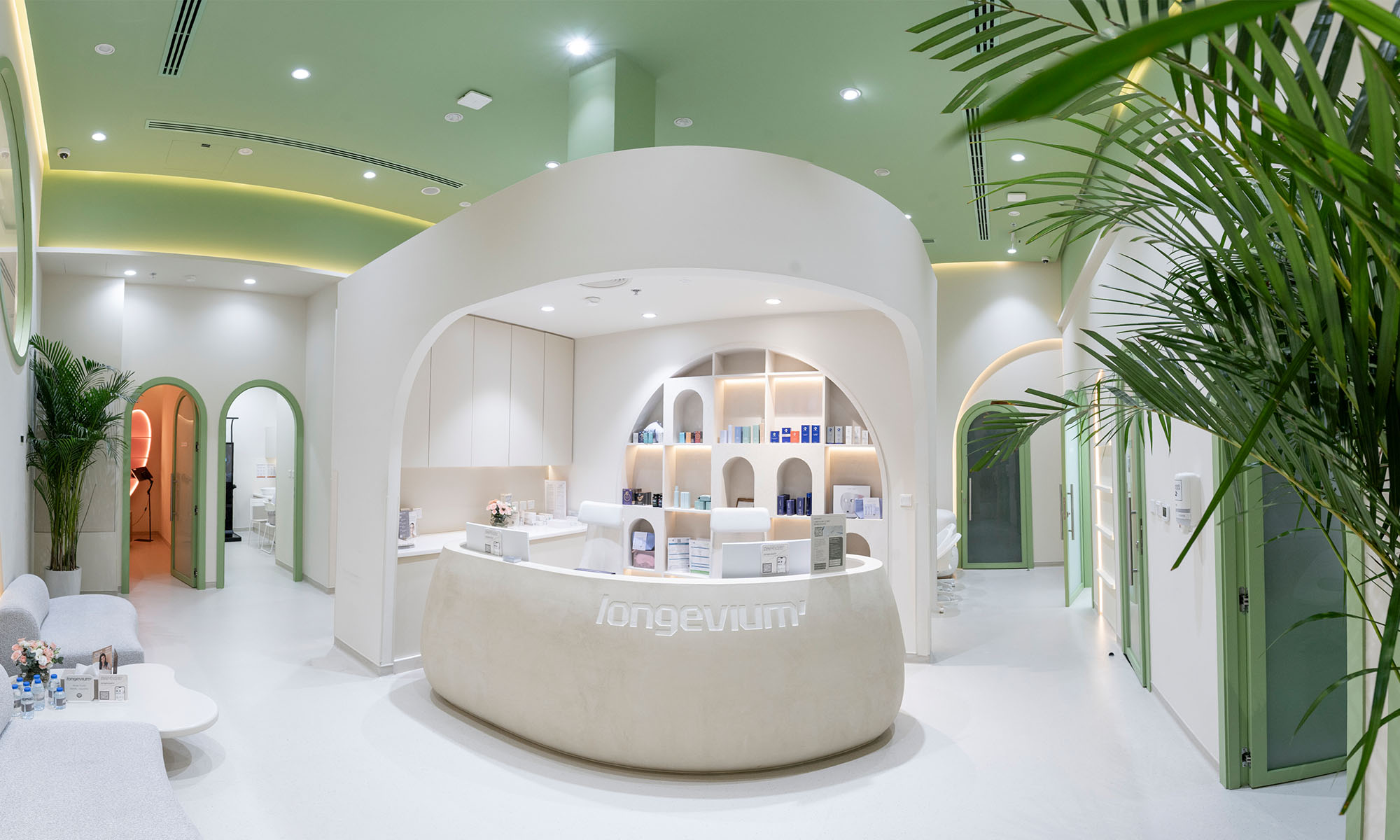
Dubai has been busily creating the scaffolding for a longevity industry, including a dedicated regulatory authority and a health market deep enough to sustain it. Now the clinics are arriving.
Longevium, a longevity clinic network, has opened three locations across the city: a flagship at Triple Seven Mall on Jumeirah 3, and branches in Jumeirah Lake Towers and Jumeirah Village Circle. Together they house a multidisciplinary team of nearly 100 physicians and specialists offering what the company bills as “a measurable medical system for longevity”.
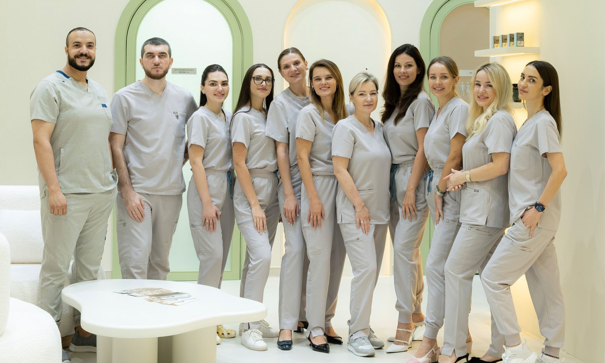
The pitch is that longevity medicine should look less like a wellness menu and more like continuous clinical care. Each patient’s biological age assessment, laboratory results, body composition, cardiovascular risk factors, metabolic markers, and lifestyle data feed into a single profile, with a proprietary AI platform helping physicians track progress and adjust protocols against the patient’s own biomarkers.
“Healthy aging must be approached clinically through diagnostics, biomarkers, physician supervision, longitudinal tracking, and protocols tailored to the individual,” said Dr. Ksenia Butova, Longevium’s founder and CEO. “Our goal is to help patients understand their health trajectory before disease develops, and then actively change that trajectory”.
The treatment list spans peptide-based protocols, exosome therapies, stem cell approaches, GLP-1 metabolic optimization, hormone balance programs, cardiovascular prevention, and regenerative aesthetics — a model built for the entrepreneurs, executives, and international patients the clinic says want measurable results rather than generic wellness. A signature offering, Longevity Day, compresses biomarker testing, ultrasound and vascular imaging, specialist consultations, IV therapy, and a personalized optimization roadmap into a single three-hour visit.
Also Read: Dubai Certifies The World’s First Purpose-Built Air Taxi Vertiport
“Here, longevity, biotechnology, AI, prevention, and regenerative medicine are converging into a single ecosystem,” said Butova. “This is why Longevium was built in Dubai, and why we believe the UAE can become a global reference point for longevity medicine”.
The emirate established the Dubai Longevity Authority in 2026 to oversee its longevity, wellness, and advanced health sectors, and the Dubai Health Authority reported insured beneficiaries exceeding 4.9 million in 2025, up around 6.5%, with insurance claims reaching approximately 49.6 million, up around 13.5%.

A Three-Clinic Network Bets Dubai Is Ready For Longevity Medicine

YouTube Rolls Out Supervised Children’s Accounts Across MENA

Meta’s New AI Tool Builds Images From Public Instagram Photos

Tamper With The Recording LED & Meta’s Glasses Kill Camera

Samsung’s Next Unpacked Could Bring Two Galaxy Z Fold 8 Models

LUVED Is A New Curated Preloved Marketplace For The UAE

Can AI Save Your Relationship? This New “Wingman” App Thinks It Can

WhatsApp Usernames Are Coming: Here’s How To Claim Yours

Dubai Certifies The World’s First Purpose-Built Air Taxi Vertiport

OpenAI Cleared To Launch GPT-5.6 Publicly After Government Review


-
 News2 months ago
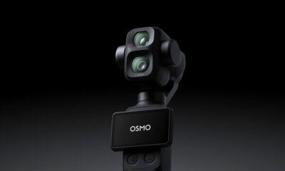
DJI Teases Dual-Camera Osmo Pocket 4P For 2026 Launch
-

 Web32 months ago
2026 Crypto Trends: Bitcoin, ETFs & The Future Of Payments
-

 News2 months ago
Lebanon Ministers Meet Visa Over National Digital Payment Platform
-
 News2 months ago
At I/O 2026, Sundar Pichai Concedes AI Must Deliver Real Value